Another Day at the waterfall
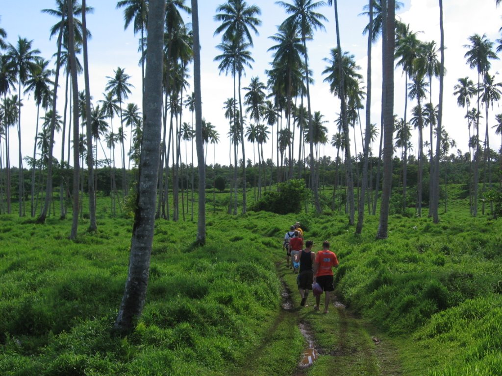
Us hiking out of the waterfalls
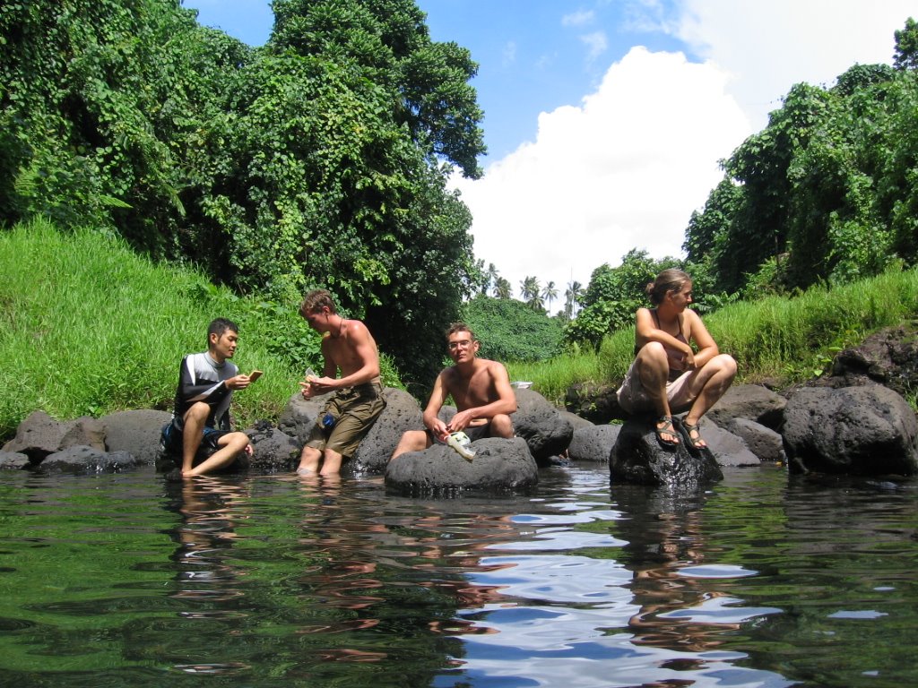
Manabu, Maka, Bob and La La at the falls
The side some people jump from.
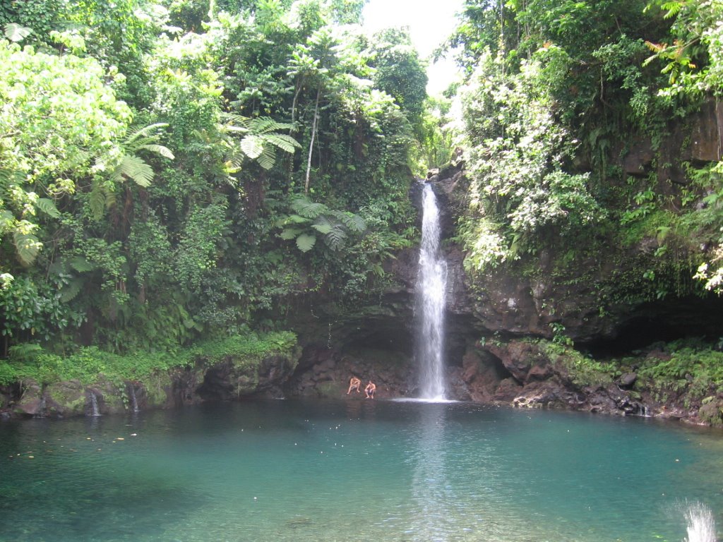
The falls, with a few of the guys sitting at the base.
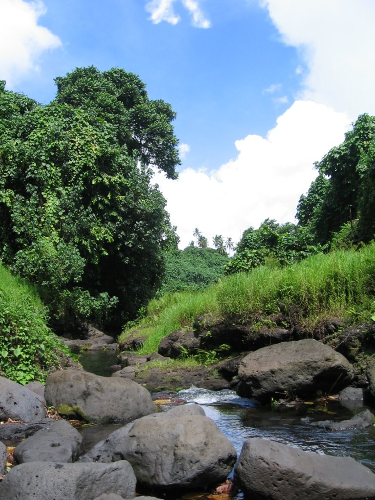
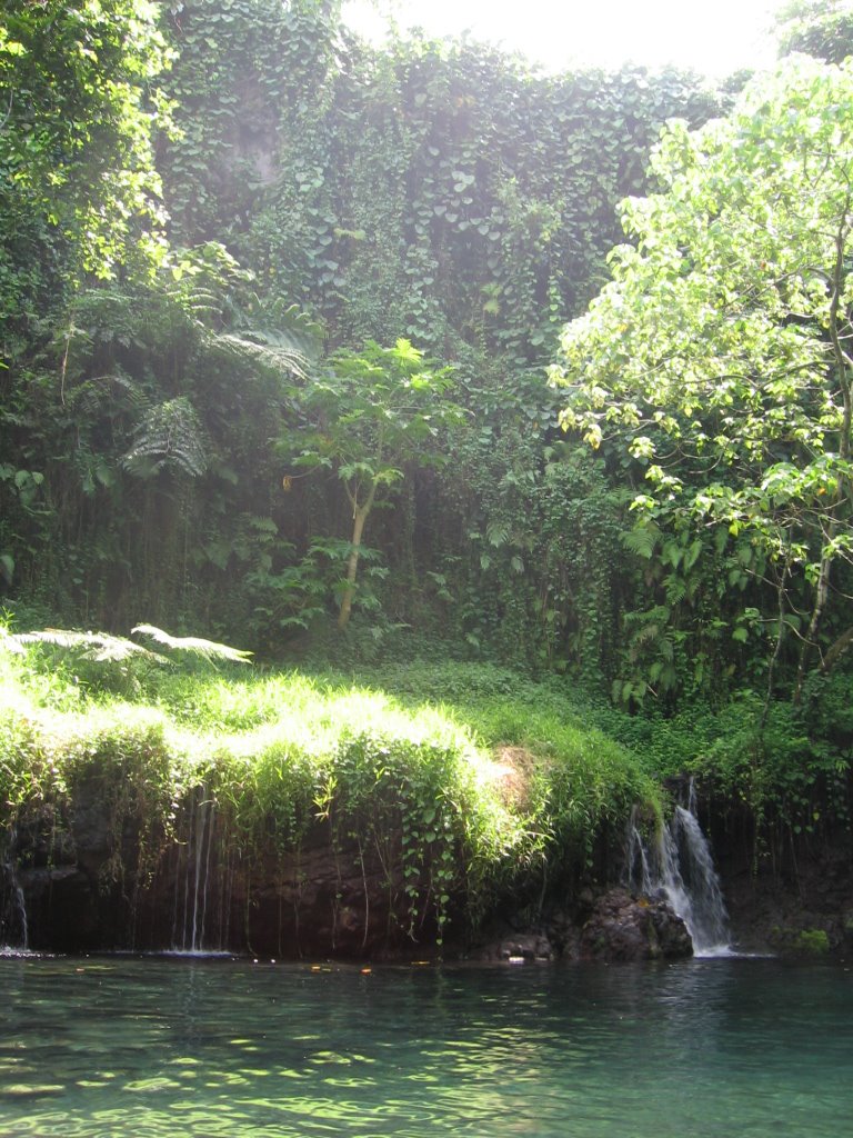
Looking at the falls down the river.
posted by Julya @ 8:35 PM
6 comments
![]()

6 Comments:
Julya
The waterfall and pool look really inviting. When we come to visit you need to take us there for an afternoon.
Love, Dad
How far away from your school is the waterfall?
Julya,
I've written to you before. I was a PCV in Samoa (G-24). I used to live in Vaitoomuli, Palauli. I enjoyed your pics of the Letolo waterfall. If you hike upstream from the waterfall there is another really pretty waterfall. Not as tall and without as deep a pool but very secluded and quiet. There also used to be a grove of wild lemon and orange trees up there. They made a nice hiking snack and damn good lemon meringue pie! There used to be freshwater prawns in the pool of the big waterfall. Good eating but a bear to catch.
As you walk across the plantation you may notice a lot of rock walls and mounds of rocks, some are quite large. There used to be an village that started down by the sea and ran far inland bound by the two rivers that set the boundries of the Letolo plantation. The rock piles are ancient fale foundations. Small one's are fale kuka. There were rock wall lined roads that ran through the village. There is a star shaped fale foundation not too far from the large tia mound. Both are fairly unique. One of my PCV contemporaries was an arcaheologist that mapped out the ancient village. No one knows why the village was abandonded but it was huge.
Thanks for the tips. I feel like I am really getting to know this place thanks to old RCPV's. Can I just hike around there?
Dad, it is close to my school. About a 5 minute bike ride.
We used to hike all over the place on the plantation and beyond. The low lying areas matai of the road used to be very swampy and full of namu. The stream on the left is not as pretty as the one on the right (with the nice waterfall) it is much more steep sided with a series of small pools and cascades rather than waterfalls like the right hand stream. I did see something really cool there in late Feb/early March 1979. There was a mass of monarch butterflies like you see in the photos of those places in Mexico and CA. I was about a mile up the left hand stream and noticed a lot of butterflies drinking and flying around the stream. I looked up into the trees and they were covered with monarchs. I've always wanted to go back and see if they are there every year or was what I saw a fluke. If you feel like getting some exercise in the near future follow the stream up and let me know if you see butterflies. If it is an annual thing they will probably disperse when the season changes.
BTW you might have noticed that oranges aren't orange in Samoa. If that grove at Nelson's is still there you can't tell the lemons from the oranges very easily as they are all green. I was told that the day length doesn't change enough in Samoa to cause the fruits to change color. May be a bunch of hooey but it makes a good story.
I just thought of a couple of things. You used to be able to by topographic quadrant maps at a government office in Apia. Maybe now you can buy them in a store. If you like to hike check'em out.
Also don't hike in the stream bed of the left hand stream at Letolo in the rainy season as it can flash flood from inland rains. The sides are very steep in some places and you could be trapped.
Post a Comment
<< Home